X
SPECIAL OFFERS

10% discount for travellers opting for Farm Stays


X
TRIP ADVISOR
san-francisco-goldenferry-building-port

Jhomolhari Loop (Yaksa Trek) | 9D

9 Days
Category:

Description

TREK INFO Duration: 9 days
Trek Duration: 6 days
Max Elevation: 4900m
Difficulty: Medium-Hard
Season: April - June and September - November
Start: Sharna Zampa (Paro)
Finish: Sharna Zampa Paro)
Access Towns: Paro
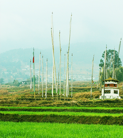
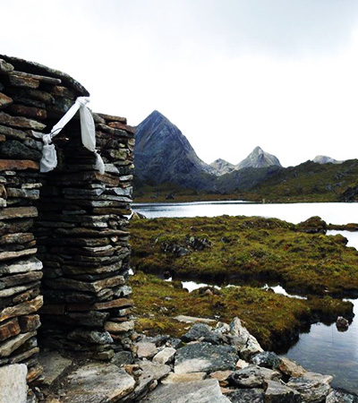
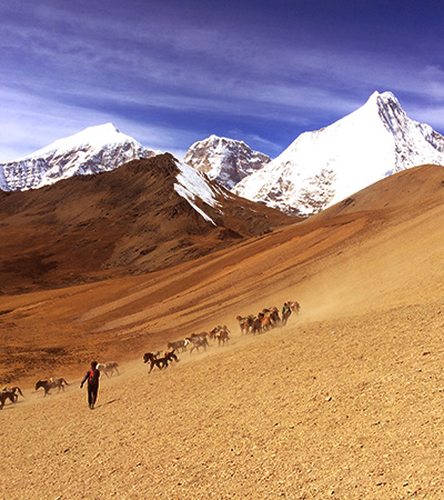
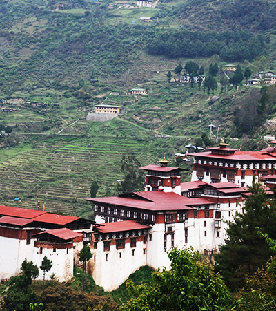
SUMMARY This trek is an extension of the Jhomolhari trek, with the out stop at the fur-flung valley of Laya. It offers diverse flora and fauna, and a scenic view of the highest mountains.
TREKKING PACKAGE INCLUSION
Accommodation/your night Camps.
Good Quality tents with quality sleeping bag, and insulated mat.
Tents (Sleeping tent, Dining tent, Kitchen tent, Toilet tent, Shower tent )
All Trekking Meal during the Trek
One Trekking Expeditions Leader/Expert Trekking Guide
Trekking Chef and helpers (Depending on group size)
Group Medical Kit
All Park entrance Fees and Trekking Permits
Horses and a potter to carry 20 Kgs personal equipments
PACKAGE INCLUSION
Accommodations (3* Hotels and Resorts)
Transportations (Dedicated SUV vehicles with driver)
All 3 meals
Drinking Water (Packaged bottled water)
English Speaking Guide throughout the trip
Monumental fees
Bhutan Tourism Development fee
Visa Processing Fee
PACKAGE DOES NOT INCLUDE
Internation Airfare
Refrehsments, bottled drinks and alcohal
Tips/Gratitudes
Cost arising out of flight cancellation and events beyond our control
Expenses of personal nature
CHECK FOR ESSENTIALS
DURING TREK
  • Clothes: Waterproof jacket and pants, warm clothes at camp sites
  • Bag pack with rain cover
  • Water bottles (2-3 Liters)
  • Sun Hat (During the day hikes)
  • Hiking poles (If necessary)
  • Sunglasses
  • Water-proof Trekking shoes
  • Winter Hat and Gloves
  • AT CAMP SITE
  • Head lamp with extra batteries
  • A pair of Camp shoes too
  • Thermal Inners
  • Reading materials
  • Journal and pens
  • Itinerary

    [Day 1]

    PARO INTERNATIONAL AIRPORT – Your first glimpse of Bhutan


    • On arrival at the Paro International Airport you will be welcomed by your tour guide and driver. After checking into your hotel, visit the impressive Rinpung Dzong/fortress of Heaped Jewels, a fine example of the ostentatious Bhutanese art and architecture. Located above the Dzong is the National Museum showcasing various artifacts and relics of ancient Bhutan.
    • In the evening visit a traditional farmhouse replete with paddy fields, vegetable garden and farm animals. Enjoy a hot stone bath in a wooden tub, get some cooking tips and help in preparing your dinner which you will eat in the traditional Bhutanese style with the whole family.

    [Day 2]

    TAKTSANG MONASTERY/TIGER’S NEST/ Acclimatizing Hike– The highlight of your holiday to Bhutan


    • Your highlight of the tour and a day excursion to one of the most petrified sites in Bhutan, Taktsang Monastery / Tiger’s Nest which is about 3 hours uphill and 2 hours down. It is located around 900 meters above the Paro valley. In the 8th Century Guru Padmasambhava – the patron saint of Buddhism established the most sacred place in Bhutan and meditated with his consort Khandro Yeshey Tshogyal. It is believed that Guru flew on a female tigress in pursuit of a demon which he subdued at the current site of the Monastery.
    • You can have your lunch, tea/snacks at the cafeteria midway.
    • Before you drive back to your hotel visit the Kyichu Lhakhang/temple, one of the oldest temples built in the 7th Century by the Tibetan King Songsten Gyembo.
    • Overnight in Paro
    If you wish you can go for a stroll through the valley or rest in hotel.

    [Day 3]

    SHARNA ZAMPA - THANGTHANGKHA


    Walking Distance: 22 km, 7-8 hours, 770 m ascent, 10 m descent, camp altitude 3,610 m.
    After you breakfast you will drive about 1-2hrs to the starting point of your trek.
    • Brace yourself for a long, hard day with lots of ups and downs, made worse by all the rock-hopping required to avoid mud holes. Begin the day by climbing through conifers and rhododendrons flanking the Paro chhu. You might have to scramble over small hills to get around the river in places. Your campsite will be at thangthangka (3,610m), with a small stone shelter and a Bhutanese-style house in a cedar grove at the edge of the meadow.

    [Day 4]

    THANGTHANGKHA – JANGOTHANG


    Walking Distance: 19 km, 5-6 hours, 480 m ascent, camp altitude 4,080 m.
    • If you did not see Mount Jomolhari the previous evening, you will get a great view in the morning. The trek continues up the Paro Chhu river valley which widens into patches of alpine meadow and scanty growths of forest. Cross an army outpost along the way and enjoy a spectacular view of high mountain ridges and snow-capped peaks. Yaks and the herder’s homes become a regular feature of the landscape. Passing the beautiful villages Soe, Takethang and Dangochang is another highlight of today. Reaching Jangothang, one of the most beautiful campsites of the Himalayas, you will again have a spectacular view of Mount Jomolhari.

    [Day 5]

    ACCLIMATIZATION (HALT)


    Camp Altitude: 4,080 m
    • Jangothang is a perfect environment for your acclimatization. There are plenty of possibilities for day hikes with great views on lakes and snow capped mountains such as Jomolhari and Jichu Drake. Jichu Drake is also one of those unclimbed mountains. There are good chances to spot some blue sheep on the upper slopes of the valley. There are good short hiking trails in three directions. Jumolhari and its subsidiary mountain chains lies directly west, Jichu Drake to the north and a number of unclimbed peaks to the east. Nearby there are trout filled lakes. You may also walk towards the glaciers of Jhomolhari or visit and experience a high altitude village life nearby. Don’t sweat it too much as you prepare yourself for a tough climb the next day.

    [Day 6]

    JANGOTHANG TO SOI YAKSA


    Walking Distance: 16km, 6-7 hours, 810m ascent, 1,090m descent, camp altitude 3,800m.
    • From Jangothang, the return trail initially leads northto the last settlement in valley, before dropping to paro chhu, crossing it on a wooden bridge. After crossing the river, you begin a gradual climb, following a set of sharp switchbacks for about 300m up the side of the hill. Along the way, you can get fabulous view of mount. Jhomolhari, Jichudrakey and Tserim Kang if the weather is good. Its relatively even and smooth hike all the way to a large cirque nestling the lake of Tshophu(4380m), a pair of splendid high-altitude water bodies inhabited by a flock of ruddy shelducks and known to foster a healthy population of brown trout deep in their placid water. While its possible to set up camp in between two lakes,you could always carry on along the trail, which now climd high above the eastern side of the first lake, passes the second lake along the wayand finally climds across a scree slope to the crest of ridge. From here, it descents into a hidden valley, before climbing steeply to Bhonte La(4890m), the highest point on this route.
    • Descending from Bhonte la, the route now runpass a scree slope, and then winds down a ridge with lot of criss-crossing yak trails. Finally it switchback down to Soi Yaksa valley (also known as Dhumzo chhu valley), a beautiful setting for a camp at 3800m with rocky cliff, wild-flower meadows, a few nomadic settlements and a waterfall at the end of the valley. All through this days, keep your eyes trained on wilderness for a host of regional wildlife, such as blue sheep, golden marmots and the elusive snow leopard.

    [Day 7]

    SOI YAKSA- THOMBU SHONG


    Walking Distance: 11km, 4-5 hours, 720m ascent, 340m descent, camp altitude 4,180m.
    • Starting out from camp, todays walk initially takes you pass hillsides lush with a crop of azalea and rhododendron, before gradually climding above tree line. You will also cross forest of birch and oaks on the way. The trail ascends about 100m above the ridge, before dropping to a meadow with a chorten and mani wall, and a babbling stream. If you have enough time on your hands, you can make a quick detour to the ruin of Sey Dzong, in a side valley nearby. Otherwise, you can simply continue ahead of mani wall, cross the stream on a wooden bridge, and follow the trail heading the hillside. Not long after, it drop into a small side valley, before emerging onto a ridge. Here the trail bifurcates and it can be confusing since both the track look very similar.
    • Don’t go left- this route will eventually take you to Lalung la, a pass that leads onto an extremely roundabout way back to Drukgyel Dzong. Go right instead. The track will first take you through a wooden area, and then climd steeply about an hour ascending pass few huts and chorten to Tahung La(4500m). Spectacular views of mount. Jhomolhari, Jichudrakey and Tserim Kang can be seen from the pass, and on a clear day, the formidable Kanchenjunga(8586m) can be sighted far away on western horizon.
    • From Takhung la, the trail holds out for a while, before gradually meandering down to Thombu Shong(4180m). its grassy pasture dotted with three yak herder’s huts, and has traditionally use by animal herders as campsite through various time of the year.

    [Day 8]

    THOMBU SHONG- SHARNA ZAMPA


    Walking Distance 13km, 4-5 hours, 200m ascent, 1650m Descent
    • After breaking camp, follow the trail leading out of the valley through a marshy patch. From here, the well-defined track suddenly begins to gain elevation, and climb steeply for a good 200m. this hike can prove tiring, especially since you now have an entire week’s vigorous trekking behind you, although you have adjusted well to the altitude by now, if that’s any consolation. All along, you will be traversing through a gloriously beautiful garden of wildflowers, also rich with crop of rhododendron, which is especially breath taking through late spring and summer. At the end of the climb, you will cross over Thombu la at 4380m, where the trail eventually exits the valley. Stop here for a last good look at Kanchenjunga and Drakey gang (5200m) among other peaks.
    • On other side of Thombu la, the trails begin to amble down steeply through upland forest, and the long descent ahead can prove to be rather brutal on your knees. Leading down from the pass, the total loss in elevation all the way to the end of the trek is whooping 1800m, all within the span of about three hours. The first part of the descent is gradual, winding down to about 4000m, after which the trail makes a steep descent, zigzagging down the ridge through wildflower bushes, mostly edelweiss, before finally reaching the helipad at Gunitsawa (2730m).
    • Cross the river and go upstream to reach your day 1 starting point at Sharna Zampa (2580m).
    • Your driver and tour vehicle awaits you for pick up towards hotel.
    • Overnight in Paro

    [Day 9]

    DEPARTURE


    • After breakfast drive to Paro International Airport where your guide and driver will bid you farewell and hope you had a pleasant holiday and hope to see you in Bhutan again.

    TASHI DELEK

    Costing

    In the month on March to May and September to November
    Solo Traveller Group of 2 & 3 person A max of 15 pax & min of 3 pax
    Surcharge Total Cost Surcharge Total Cost Surcharge Total Cost
    USD 40 USD 2320 USD 30 USD 2240 per person No surcharge USD 2000 per person

    Reviews (1)

    Add a review

    Your email address will not be published. Required fields are marked *

    Processing!